
📰 Full Story
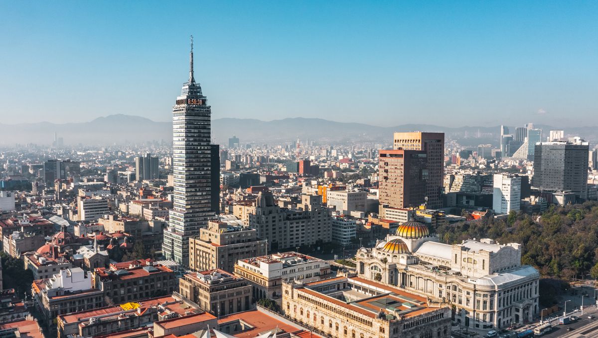
NASA’s new NISAR (NASA‑ISRO Synthetic Aperture Radar) satellite has produced high‑resolution maps showing accelerated subsidence across Mexico City, with preliminary measurements from October 2025 to January 2026 indicating pockets sinking by more than 2 centimetres per month.
The joint mission, operational since July 2025, combines L‑ and S‑band radars and a 12‑metre reflector to revisit areas twice every 12 days, enabling near‑real‑time detection even through clouds and vegetation.
NASA’s map highlights concentrated blue zones of rapid decline — including areas near Benito Juárez International Airport and landmarks such as the Angel of Independence — while noting some yellow and red signals likely represent background noise that should reduce as more data are collected.
Scientists attribute the long‑running phenomenon to intense groundwater pumping from the ancient Lake Texcoco bed and the cumulative weight of urban development, producing uneven “differential subsidence” that has already damaged metro lines, roads, pipes and historic buildings across a metropolis of roughly 20–22 million people.
Researchers say continuous NISAR monitoring will be critical for targeting mitigation and infrastructure planning.




💬 Commentary